
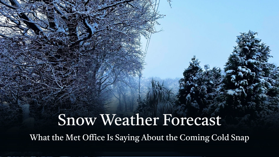

As winter tightens its grip across parts of the UK, the Met Office has issued fresh warnings of snow, ice, and plummeting temperatures. For many, this comes as a stark reminder that snow season is back and for some regions, the risk is more serious than just a flurry. Whether you’re in Edinburgh, Glasgow, heffield, Newcastle, or Birmingham, here’s your up-to-date picture of what’s coming, and how to prepare.
What’s Triggering the Snow Forecast?
According to the Met Office, a large mass of Arctic air is pushing southwards, creating widespreadwintry conditions. (Met Office) Over the next few days, multiple snow and ice warnings have been issued across parts of northern England and Scotland. (Met Office)
Chief forecasters have warned that this cold snap could become one of the most impactful of the season. (Met Office) Forecaster Paul Gundersen notes that as the Arctic airmass settles in, “a period of snow is likely over high ground, with accumulations of 2–5 cm above about 150 m, and potentially 5–10 cm over 400 m or more.
Night-time temperatures could drop dramatically, with values as low as −10 °C in some areas, especially when factoring inwind chill. (Met Office) This heightens the risk of ice forming on roads and pavements, making travel hazardous.
Current Met Office Warnings: Snow, Ice, and Health Alerts
Here’s a breakdown of the weather warnings currently in place:
- Yellow snow and ice warnings: These cover parts of Scotland and northern England and are expected to remain through much of the week.
- Health alert (Amber): The UK Health Security Agency has issued an amber cold health alert for regions including North East England, North West England, and Yorkshire & the Humber.
- Snow accumulations: In high ground (northern England, Scotland) up to 15–20 cm could fall in elevated areas.
- Ice risk: As temperatures plunge, untreated surfaces may freeze overnight, leading to dangerous icy patches.
Regional Forecast: How the Snow Will Affect Key UK Cities
Edinburgh and Glasgow (Scotland)
- In Edinburgh, wintry showers are likely, dipping into sleet or snow especially in the more elevated or northern parts.
- Glasgow, meanwhile, may see rain turning to snow if the cold air pushes inland. The Met Office predits that some showers thatbegin as rain may switch to snow overnight.
- Both cities should brace for icy pavements with strong risk of ice after sunset and possibly short disruptions on local transport
Northern England (Sheffield, Newcastle, High Ground)
- For Sheffield and surrounding regions, the forecast suggests snow showers could return midweek.
- Higher ground across northern England, particularly above 200-400 m, faces a greater snow threat: forecastersare calling for up to 5-10 cm, and possiblymore in exposed upland areas.
- In Newcastle, while lower-lying areas may not see deep snow, colder air and risk of sleet or light snow showers are expected, especially at night.
Central & Southern England (Birmingham & Beyond)
- The situation for Birmingham is less clear-cut. While much of the southern half of England may see rain rather than snow, there’s still potential for sleet or snow in places, especially where cold air lingers from the north. (Met Office)
- Overnight frosts remain a very real concern. Even if snow doesn’t accumulate, icy surfaces will be a hazard.
Looking Back: How the UK’s Winter Has Started
Earlier in the year, the Met Office flagged a significant cold snap for 2025. (Met Office) As northern air masses surged, parts of the UK saw wintry showers, ice, and frost.
Snow was already building up in northern England, with reports of 17 cm in Bingley (West Yorkshire) and 10 cm in Cumbria at one point. (Met Office) Over January, snow showers persisted in Scotland while many low-lying southern areas saw freezing temperatures and ice rather than deep snow.
The Met Office also highlighted the flood risk this winter, as melting snow combines with rain across parts of the UK. (Met Office) This doubles up travel worries: not just from snow and ice, but from slippery, waterlogged roads.
What This Means for Everyday Life
Travel & Transport
- Roads: Expect possible disruption in northern and high-ground areas. With snow and ice warnings in force, untreated roads may be treacherous.
- Rail: Trains could run slower, especially through rural or elevated routes. Passengers should prepare for delays.
- Airports: Some disruption is possible if flightsare affected by snow showers or icy conditions.
Health & Safety
- Cold related health risks: The amber alert from UKHSA underscores that older people and those with respiratory or cardiovascular conditions are especially vulnerable.
- Wrap up well if you’re heading out: layers, good boots, and a warm coat are essential.
- Be alert to icy surfaces, especially pavements, driveways and roads.
Home Preparedness
- Keep heating on or have a strategy to keep your home warm especially through the nights when temperatures drop.
- Be ready for potential snow melt and run-off, which could raise local flood risk in places. (Met Office)
- If you’re commuting or need t travel, considerflexibility and leave extra time.
Looking Ahead: How Long Will the Cold Stick Around?
According to the Met Office outlook, this wintry spell is likely to linger: the Arctic airmass is expected to maintain its grip for several more days. (Met Office) As the week progresses:
- Wednesday to Friday: These could be the coldest days, with overnight lows possibly hitting −10 °C or lower in exposed areas.
- Through Thursday: Snow showers may extend into north-facing coastal areas, particlarly in Scotland and northern England.
- Possible further snow: A front from the south-west may bring more snow or sleet midweek in some southern or western regions including parts of England and Wales.
Forecasters say there’s still some uncertainty: the exact track of fronts, the balance of rain vs snow, and how cold air interacts ith moisture could shift, so warnings may be updated.
Regional Weather Snapshots: What to Expect Where You Are
Here’s how things look for some of the main UK cities right now, based on the Met Office snow forecast:
| City | Snow & Ice Forecast |
|---|---|
| Edinburgh | Snow showers likely overnight; risk of sleet. Icy pavements. |
| Glasgow | Possible rain turning to snow; wintry showers. Cold, with ice risk. |
| Sheffield | Cold, with potential for sleet or snow showers midweek. |
| Newcastle | High-ground snow risk; sleet at lower levels; freezing nights. |
| Birmingham | Uncertain snow; frost and icy surfaces more likely than heavy snow. |
Expert Advice: Stay Safe in This Wintry Spell
Here are some practical tips, based on Met Office guidance and common-sense winter safety:
Monitor the Forecast
Use the Met Office website, app or social media for real-time updates. (Met Office)
Look out for National Severe Weather Warnings – they’re your best guide to dangerous conditions. (Met Office)
Travel Smart
If you must drive, check road conditions before you set off.
Carry winter essentials in your car: scraper, de-icer, warm clothes, shovel, and a blanket.
Be careful of black ice it’s common when the temperature drops below zero overnight
Protect Yourself Against the Cold
Dress in layers: thermal base, warm mid-layers, and windproof outerwear.
Wear suitable shoes or boots with good grip to avoid slipping.
Keep your home warm, especially at night.
Prepare for Flood Risk
In areas with snow melt, be alert to surface water flooding.
Clear drains and ensure gutters are free-flowing.
Health Precautions
Older people or those with existing health issues should be particularly careful. The amber health alert highlights increased risk.
Stay hydrated, eat warming meals, and avoid unnecessary exposure to the cold.
Final Thoughts
The Met Office’s forecast for the coming days is a timely reminder of just how unpredictable and potent winter weather in the UK can be. With snow, ice, and sub-zero temperaures expected across parts of Scotland, northern England, and possibly beyond, communitiesare being urged to stay alert and plan ahead.
For those in Edinburgh, Glasgow, Sheffield, Newcastle, or Birmingham, this isn’t just a chance of a dusting there’s a real risk of disruption, especially on the roads. The combination of icy conditions, freezingnights, and winter showers means that caution is the order of the day.
If you’re heading out, drive carefully. If you’re at home, preserve your warmth. And no matter where you are in the UK, kep an eye on Met Office updates because in a winter like this, conditions can shift quickly.
Stay safe, wrap up warm, and let’s hope for a smooth ride through this cold spell.
Leave a Reply